Status of unrest in Reykjanes
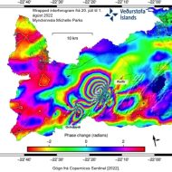
The IMO (Icelandic Met Office) published the interferogram showing new dike intrusion on Reykjanes Peninsula and deformation associated with the M 5.47 earthquake on 31 July 2022. Through this interferogram, it’s possible to observe approximately 16 cm of northwestward displacement...
Slovak–Italian volcano–gravimetric campaign Etna 2018
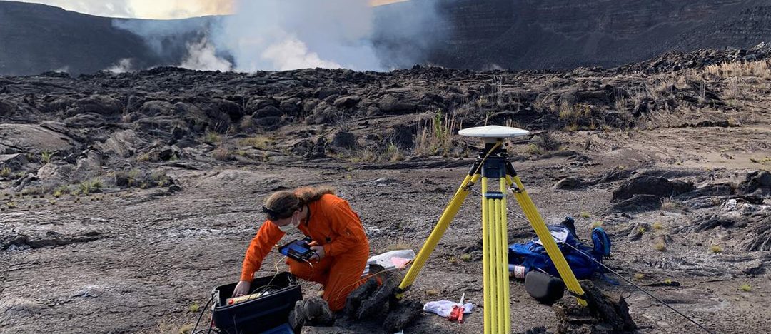
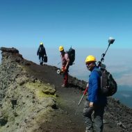
In the 2018, two earth scientists from Slovakia, Pavol Zahorec and Peter Vajda have teamed up with colleagues from Osservatorio Etneo, Istituto Nazionale di Geofisica e Vulcanologia (INGV) in Catania (Sicily), Daniele Carbone, Filippo Greco and Massimo Cantarero to conduct...
Drivers of Volcano Deformation Exercises
We are pleased to announce the launch of a volcano model verification and validation initiative “Drivers of Volcano Deformation” (DVD), sponsored by CONVERSE/IAVCEI/Modeling Collaboratory for Subduction. DVD Phase 1 consists of several exercises to test commonly used models for ground deformation at volcanoes. As forward and inverse models of volcano deformation increase in complexity, it...
IAVCEI eVolcano Curated Video Library
IAVCE is piloting an eVolcano video project to curate and distribute Volcanology videos. Please consider contributing some content! The eVolcano pilot project includes peer-reviewed videos that are 20-30min long scientific lectures covering different fields and subjects in Volcanology, targeting the...
